

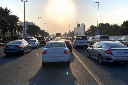
Bahrain Weather Eases After Friday Heat Peak
TDT | Manama
Email: mail@newsofbahrain.com
Bahrain recorded its highest temperatures of the week on Friday, when the mercury climbed to around 45°C, marking a sharp peak in the ongoing summer heat.
According to the Meteorological Directorate at the Ministry of Transportation and Communications, Friday’s weather was hot during the day and relatively mild at night, with temperatures ranging between 45°C maximum and 27°C minimum. Winds were light to moderate southwesterly, turning easterly later in the day.
The rise followed a gradual warming trend earlier in the week, when temperatures stayed near 39°C before increasing to around 41°C over the past few days, culminating in Friday’s peak heat.
Noticeable Relief
Today, weather conditions shifted significantly with the return of strong northwesterly winds known locally as “Al-Barah” or “Al-Bawarih.”
These seasonal winds have begun to moderate temperatures, bringing the maximum down to around 40°C, offering partial relief from Friday’s extreme heat.
Winds are expected to be northwesterly at 12 to 17 knots, occasionally strengthening to 20 to 25 knots, which may lead to blowing dust and reduced visibility in open and exposed areas.
Despite the drop in temperature, conditions remain hot during the daytime, with dry and gusty winds dominating much of the country.
Dusty and windy conditions likely to continue
The same weather pattern is expected to persist through the weekend, with hot but windy conditions continuing into the coming days.
Northwesterly winds will remain active at 12 to 17 knots, occasionally reaching 25 knots, while temperatures are expected to hold steady at around 40°C.
Authorities note that dust activity may continue intermittently, particularly in open and desert areas.
Understanding “Al-Barah” winds
The “Al-Barah” or “Al-Bawarih” winds are a well-known seasonal phenomenon in the Gulf region during early summer. These dry northwesterly winds typically arrive in bursts and are associated with shifts in regional pressure systems.
While they often provide a temporary cooling effect by improving air circulation, they can also cause dust storms, reduced visibility, and unsettled sea conditions.
Marine warning continues over the weekend
Sea conditions remain moderately active, with wave heights expected to range between 1 to 3 feet near coastal areas, rising to 3 to 6 feet offshore.
Fishermen and seafarers have been advised to exercise caution due to strong winds and increased wave activity, which are expected to persist through the weekend.
Related Posts